Meet the Industry - March 2017
UAV specialist company Svarmi meets with ISE students, sharing industry experience & latest projects
REYKJAVIK, March 22 - Representatives from Svarmi ehf came to Reykjavik University to speak with Iceland School of Energy (ISE) students about their services, industry experience and latest projects. Svarmi is an Icelandic company specializing in Unmanned Areal Vehicles or UAVs for aerial photography, geological mapping along with other monitoring and imaging tasks.
For years ISE students have stayed up-to-date with local businesses and organizations who specialize in services and technologies related to sustainable energy. Based on the relevance to current internships, thesis topics or simply overwhelming interest, students reach out and invite respective companies to discuss their cutting edge projects and research.

Inspired by Jóhann Mar Ólafsson's internship at ISE researching drone usage for geothermal and environmental exploration, Svarmi was invited to share their work. Introducing their business model, Svarmi explains the services they provide. Using only drones and devices built in-house, Svarmi collects and provides data from remote-sensing. The company has experience using both multicopter UAVs and fixed-wing drones to attain the data.
From the data collected and depending on customer needs, Svarmi further uses Geographic Information Systems or GIS to create two and three-dimensional models, along with potentially further statistics and analysis. As described by Indiana University,
Geographic Information System (GIS) is a computer-based tool for mapping and analyzing feature events on earth. GIS technology integrates common database operations, such as query and statistical analysis, with maps. GIS manages location-based information and provides tools for display and analysis of various statistics, including population characteristics, economic development opportunities, and vegetation types. GIS allows you to link databases and maps to create dynamic displays. Additionally, it provides tools to visualize, query, and overlay those databases in ways not possible with traditional spreadsheets. These abilities distinguish GIS from other information systems, and make it valuable to a wide range of public and private enterprises for explaining events, predicting outcomes, and planning strategies.
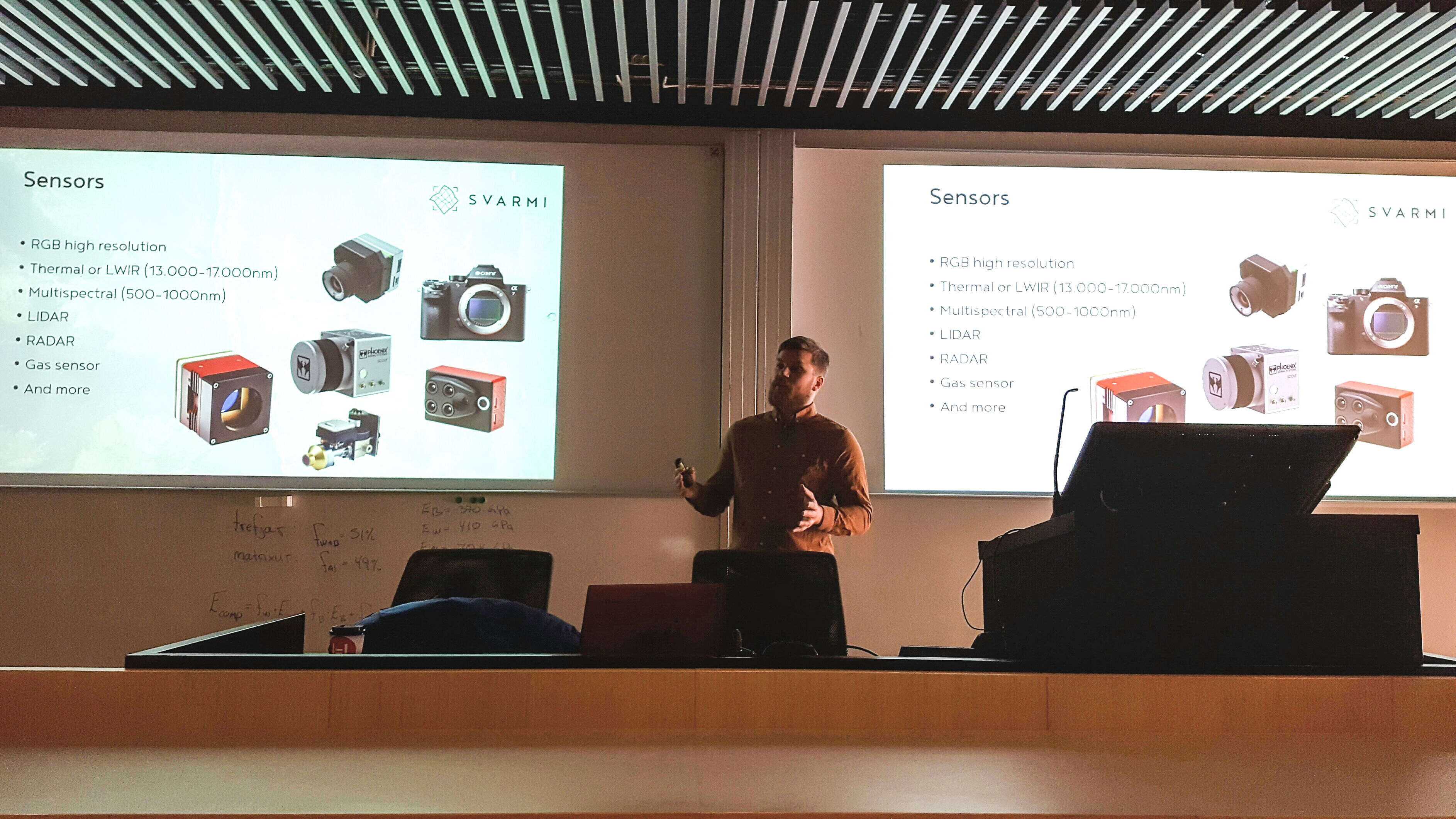
Svarmi goes on to explain that while the UAVs used are built in-house, the sensors placed on the drones are made by third-party specialists for increased precision and accuracy. Outlining each in detail in their presentation, the sensors used include but are not limited to High Resolution RGB Sensors, Thermal or LWIR Sensors, Multispectral Sensors, LIDAR Sensors, RADAR Sensors, and Gas Sensors.
- Verification, correction and correlation of satellite data to UAV data
- High-resolution thermal mapping using Long Wave Infrared (LWIR) Sensors
- Vegetation monitoring using Near-infrared Spectrometers (NIRs) and the Normalized Difference Vegetation Index (NDVI)
- Inspection and malfunction analysis of buildings and other structures (such as dams or power line masts)
- Animal stock estimation for farmers
- 3D modelling using Digital Surface Models (DSMs) and Digital Elevation Models (DEMs)
- Volume measurements
- Detailed image analysis
- Sun radiation mapping
With regards to structural inspection and analysis (listed above), Svarmi has done particular work with older transmission line masts maintained by Landsnet, Iceland's transmission company. Further, Svarmi has even done methane leakage monitoring from the SORPA Landfill. In the future, Svarmi sees potential for further projects in topography, dam inspection, thermal mapping and surface deformation analysis. As explained, this and other work can be achieved using other bandwidths of light besides the visible, such as long and short infrared radiation. Applications vary from gas leakages, such as the SORPA project, to landslide and avalanche monitoring - when it comes to imaging, the possibilities are endless.